Showing posts with label Banff National Park. Show all posts

Saturday, February 14, 2015

The Critters of Banff National Park

This is an ongoing series recapping my 2008 trip to Banff National Park in Alberta, Canada.

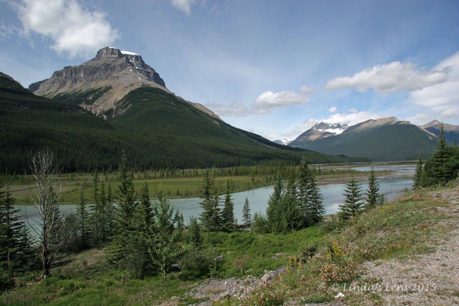
Right next to the campground where we stayed was a large clearing named "Moose Meadows."  Twice daily - morning and evening - we'd pass right by.  Every time, Roger insisted on stopping to look for wildlife.  A name like "Moose Meadows" practically guaranteed a moose sighting, right?


See any wildlife?

Our first couple of days in the park, our only wildlife encounters were with dozens of chipmunks.  Roger kept looking for moose and elk, but there were none to be found.  Then, we went into the town of Banff.  Up on a high bank above the main road we spotted a small herd of elk.  We'd been looking in the wrong places.  Instead of roaming the forests of the park, the elk were all hanging out in town!


Our first bear sighting!

The morning we drove the Icefields Parkway, my hubby and I rose early to get a jump on the tourist crowd.  After our usual morning wildlife check at Moose Meadows, we headed down an empty park road.  Noticing a couple of cars pulled over up ahead, Roger slowed down as we passed by.  Turns out a bear was foraging in some bushes right next to the shoulder.  We stopped immediatly.  The bear was on my side of the car, not more than 20 feet away.  Excited, Roger rolled down my window, urging me to "take a picture!"

Okay - there was a bear very close by and my window was open!  I stammered "What are you doing?  There's a b-b-bear out there!"  Quickly slapping on my longest lens, I stuck it out the window and fired off a few quick shots before Mr. Yogi, not wanting to be a paparazzi subject, abruptly ended his breakfast and lumbered into the forest.


Our second bear sighting about an hour later

Wow - a real life bear sighting!  Roger and I were jazzed.  Then, not an hour later, stopped at one of the many overlooks, I spotted another bear.  It was a small black bear, hanging out in a flower field.  Just like the first one, this guy took one look at me and my long camera lens, and hightailed it out of there.


An overly friendly chipmunk

Although those turned out to be the only two bears we'd see, it was still plenty exciting.  Of course, the most up-close and personal wildlife encounter was when Roger was the victim of an ambitious chipmunk.  (If you missed that post, click on the hyperlink)


Animal crossing bridge

Driving the main highway to and from the town of Banff, Roger and I noticed an unusual overpass.  It's upper surface was thickly landscaped with plants and trees.  Upon closer inspection, we realized this was an animal crossing.  A tall chain-link fence paralleled the highway on both sides, keeping animals off the road, and directing them to their special bridge.  Collisions with elk and moose must've been a huge problem for the local government to finance such an elaborate structure.


Elk!

We never saw any elk in the park until our very last day.  Packed up, and driving towards the south exit, we came upon a huge herd nonchalantly crossing the road.  They had traffic at a standstill.


These elk wanted a bus ride

Lots of folks had gotten out of their vehicles, cameras in hand.  Since these elk had large horns, I opted to get my shots through the car window.


This big elk stopped traffic

The elk even had a tour bus stopped in it's tracks.  I got a kick out of the passengers lined up next to the driver, clicking away with their cameras.  This was one of my favorite animal photos from our trip.


Mama and baby mountain sheep

Continuing on with our journey south, we followed the Kananaskis River into Peter Lougheed Provincial Park.  It was beautiful country, with more tall snow-capped mountains, sparkling clear streams, and lush green forests.


Shaggy mountain sheep

It was here my hubby and I ran into a large herd of mountain sheep.  They were standing next to a campground entrance, nibbling away at the grass, paying no attention to the small cluster of people they were attracting.  There were several baby sheep in the herd, keeping their mothers close by.  With their small, fuzzy ears, and large dark eyes, these little guys stole the show. 


This one stuck his tongue out at me

While clicking away, I inadvertently captured a sheep sticking his tongue out.  (Or maybe it was intentional on the sheep's part?)


What you looking at?

We drove a little further down the highway and came upon some more sheep.  These guys were all males, and had long, curved horns.  Those horns looked like they could do some damage.  I stayed inside the car for all my photos.  Thank goodness for zoom lenses!


Moose-less Meadows

On our last morning in the park, we made one final stop to our now-familiar hangout, Moose Meadows.  Roger really, really hoped this would be the day he'd spot the elusive moose.  But, alas, it was not to be.  The entire week we'd never seen a slight sign of any wildlife in this meadow.  Driving away for the last time, Roger remarked that  this place should be renamed "Moose-LESS Meadows."  And from then on, that's what he and I called it.

This is the last of my Banff National Park posts.  I hope you enjoyed them.  I've got more photos of Glacier National Park (which we passed through on our way home).  If there's another blogging lull, I'll share those.


Sharing with:  Saturday's Critters

Thursday, January 22, 2015

Athabasca Glacier

This is an ongoing series recapping my 2008 trip to Banff National Park in Alberta, Canada.

If you want to see a remnant of the last ice age, head to the Columbia Icefield in Jasper National Park.  This mountain valley boasts six interconnected glaciers, one of which visitors can easily access.  The Athabasca Glacier sits closest to the Icefields Parkway, and due to its location, has the distinction of being most visited glacier in North America.


The Athabasca Glacier spills between two mountains

Driving the Icefields Parkway from Lake Louise, Roger and I wanted to leave enough time to reach this glacier.  I'd read it was a must-see for Banff visitors.  Heading towards the parking area, we were greeted with this amazing overview.  Sandwiched between two massive mountains, the Athabasca Glacier spilled into the valley below.


Walking a barren plain to the glacier

Visitors can walk to the foot of this massive icefield.  Roger parked our car in the nearby lot, and we followed the other tourists down a wide, rubble-strewn path.  The surrounding area was barren, made up of dull gray sediments left behind by the retreating glacier.


Signs showed how much the glacier has retreated

The once-mighty Athabasca Glacier has been shrinking at an alarming rate of 5 meters (16 feet) per year.  It's retreated nearly a mile in the past century.  Markers placed along the main path, each with a different year, showed the extent of the icefield in the past.  A very sober visual as to how quickly we're losing this valuable resource.  The photo above shows Roger posing by the 1992 marker.  As you can see, it retreated quite a ways in 16 years.


Lots of dangers on the glacier


Another common sight along our trail - lots and lots of warning signs.  Many dangers lurk on these icefields.  The Athabasca Glacier ranges between 300 and nearly 1000 feet in thickness.  Melting ice creates many deep crevasses.  Hiking on the glacier is not allowed, unless you're with an organized tour.


This was as close as you could get

This row of cones and rope was as close as we could get.


Unless you booked a special tour

From our vantage point behind, the rope, we watched a couple of guided tour groups ascend the icefield.  I was wishing we'd signed up for one of those.


It was cold at the glacier's edge

Instead, I had to be content with just viewing from afar.  But that was okay too.  The massive size of this icefield was mind-blowing!  And it was very, very cold near the glacier's base.  I was bundled up with warm coat and hat, and still got chilly.


Glacier close-up

Roger and I zoomed our cameras in as far as they would go, and got some really cool shots of the rumpled, wrinkled ice.


Meltwater pools at the glacier's edge

A steady stream of silty meltwater flowed from the Athabasca Glacier's base.  The ice at it's toe didn't look too stable.


These snow coaches took visitors on the ice

After spending time getting up close and personal with the Athabasca, Roger and I headed to the visitor center across the road.  Walking through the parking lot, we spied a very unusual vehicle.  It was a snow coach - a specially designed bus with thick lugged tires to enable driving onto the glacier.  Another option for folks who didn't want to go hiking up the icefield.


Another glacier in an adjacent valley

Sadly, we had neither the time nor the money for such a tour.  So Roger and I had to be content with touring the visitor center.  It was quite well done, though.  And the place offered many great vantage points to view the nearby mountains, and of course, their glaciers.


Ice-topped mountains

The neighboring mountains had really cool glaciers.  And their very tops were rimmed with a thick coating of ice.  Looked like a snowy white hat.


Close up of the glacier's fractured edge

It was amazing to me how the ice perched on the side of steep mountainsides.  Although it looked ready to slide off at any moment, it stuck fast.  Zooming in on the ice, one could see a maze of cracks and crevices.  A mound of white ice particles at it's base gave evidence of frequent icefalls.  Yet another reason not to venture too close to a glacier's edge.


Another look at these majestic high peaks

Roger and I took in more of the stunning mountain scenery for a little bit longer, before realizing time was getting late, and we still needed to drive all the way back down the Icefields Parkway to reach our campsite.  So we reluctantly tore ourselves away from this very interesting visitor center, and headed back down the road.


Bidding the Icefields Parkway goodbye

It was fascinating to get so close to a huge, active glacier.  The entire length of the Icefields Parkway was full of gorgeous sights.  Another highlight of our Banff, trip I was glad we'd explored this area.  But next time I hope to make it all the way to the town of Jasper!


Sharing with:  Scenic Weekends

Sunday, January 18, 2015

The Icefields Parkway

This is an ongoing series recapping my 2008 trip to Banff National Park in Alberta, Canada.


On the list of Banff's greatest hits, the Icefields Parkway definitely makes top five.  A scenic highway paralleling the continental divide, it passes rugged, glacier-topped peaks and clear blue lakes.  Linking Lake Louise with the town of Jasper, this route winds through both Banff and Jasper National Parks.  I was told a trip to Banff wouldn't be complete without a drive on this road.  Not one to ignore good advice, I wasn't about to miss it!
  

Herbert Lake reflections

Day five of our vacation, my hubby and I rose extra-early and set out to travel as much of the route as we could in a day.  The Icefields Parkway is 230 km (140 miles) in length, one way.  Due to the abundance of attractions along this road (translation - many stops), we figured traveling the entire distance to Jasper was a stretch.

It was another lovely blue-sky day.  Our first stop was at Herbert Lake to capture the perfect mountain reflections on it's glassy surface.


Crowfoot Glacier

Next, we paused to check out Crowfoot Glacier.  This glacier was named because it's three outstretched ice fields resembled toes on a crow's foot.  Unfortunately, in the early 1930's, one of the "toes" broke off, and has since melted away.  Now it's merely a two-toed crow.


Bow Lake

Traveling further, the lovely aqua-blue waters of Bow Lake got our attention, and provided yet another reason to pull over.


Roadside fireweed

Such a scenic area!  Not only beautiful blue waters, the adjacent mountains towered their craggy peaks steeply above the lake's surface.  Glaciers suspended in crevices looked ready to slide off at any moment.  To cap things off, bright pink fireweed bloomed thick along the roadside.


Peyto Lake

So much beauty to see!  Roger and I felt like we weren't traveling very far before getting sidelined by another wonderful sight.  The next jaw-dropping attraction was Peyto Lake.  Located deep in a glacial valley, a paved pathway took visitors to a breathtaking view high above it's surface.  Absolutely stunning!  Framed by steep mountain peaks, ringed by thick forests, and a remarkable aqua-blue color, it was probably my favorite vista of the entire parkway.


Glacier that feeds Peyto Lake

The unique blue color of many lakes here was due to glacial "flour," fine particles of silt ground as the glacial ice moves over rock.  The overlook for Peyto Lake also included a great birds-eye view of the glacier that feeds this lake.


View from the car window

After a thoroughly enjoyable stop at Peyto Lake, it was "on the road again."  The scenery along the highway was fantastic.  A wall of snow-capped peaks as far as the eye could see.


Looking for wildlife at Waterfowl Lake

Seeing a sign for Waterfowl Lake, Roger, who loves trying to spot animals, decided to check it out.  While my hubby scanned the water's surface for wildlife, I took advantage of some great light illuminating the adjacent mountains.


Lovely Waterfowl Lake

Although Roger's quest didn't net him any bird sightings, I scored big on amazing scenery shots.


Mistaya Canyon

Further down the road from Peyto and Waterfowl Lakes, a sign for Mistaya Canyon provided yet another reason to detour.  Roger and I followed a trail to a powerful river (the Mistaya River) whose waters had carved deep grooves through adjacent limestone.


Mistaya River

The river's light gray-blue water was stunning.  And we discovered yet another water body nicely framed by a wall of ice-capped peaks.


Glaciers stick to mountains like whipped cream

Yet the mountains didn't end.  Around every turn of the road were more peaks reaching to the sky.  Some of the glaciers perched on their tops looked ready to slip off at any moment.  I thought the white glacial ice resembled a coating of whipped cream.  I later read that many of these peaks towered over 3,300 meters (11,000 feet) in height.


Mountains and flowers

At one point on the drive, fireweed bloomed so thickly on the roadside, I made Roger pull over so I could check it out.


Fireweed

One of my favorite wildflowers, I never pass up a chance to capture it's bright pink petals.


Mountains and water

Back on the road, following the scenic Mistaya River across broad glacial plains.


View from Sunwapta Pass

And then climbing, up, up, up, steeply to the summit of Sunwapta Pass.  Oh, were the views glorious on top!


Tangle Falls

Icing on the cake.....not only wonderful vistas awaited visitors to Sunwapta Pass, a lovely cascade, Tangle Falls, stairstepped down the mountainside.


Tangle Falls, upper portion

Tall, glacial mountains, unique blue lakes, scenic rivers, thick forests, and - waterfalls!  This road had it all!


One side you're in Banff....

We passed the boundary between Banff and Jasper National Parks, and being the dork that I am, I made Roger stop to commemorate the occasion.  (Photographically, of course!)


And the other in Jasper!

There's one sign marking both park entrances.  One side you're in Jasper.....and the other you're in Banff!


Lovely green meadows

From Sunwapta Pass, the road wound down a long incline into a lush green valley.  And - yes - ringed by more fabulous mountain peaks.  (Ho hum....more mountains.....)


Approaching the Columbia Icefields

Up ahead we spied the Columbia Icefields, and the Athabasca Glacier.  Another must-see on our Icefields Parkway tour, it deserves a blog post all it's own.  And that's why I'm saving it for part two.  Join me for my next post, and prepare to be amazed!


Sharing with:  Scenic Weekends and Weekend Reflections and Our World Tuesday