It's time to recap another "top ten" hike from 2021. In this post, the spotlight will be on the Boulder Lake - Bonney Meadows Trail, a hike I did with friends Debbie and Barry back in early October.
(If you missed the post naming my top ten favorite hikes for 2021, you can catch it here.)
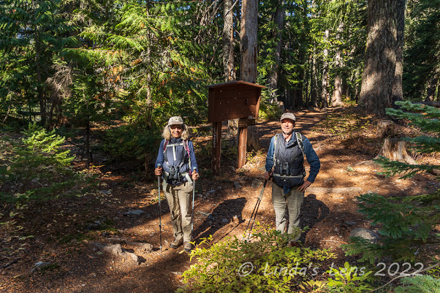 |
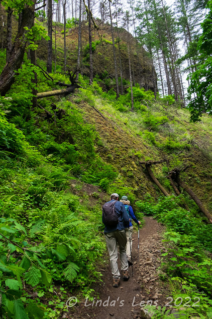
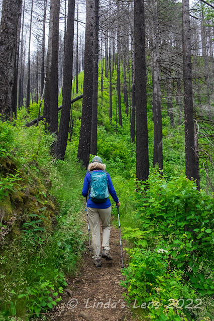
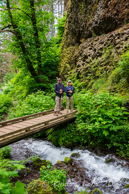
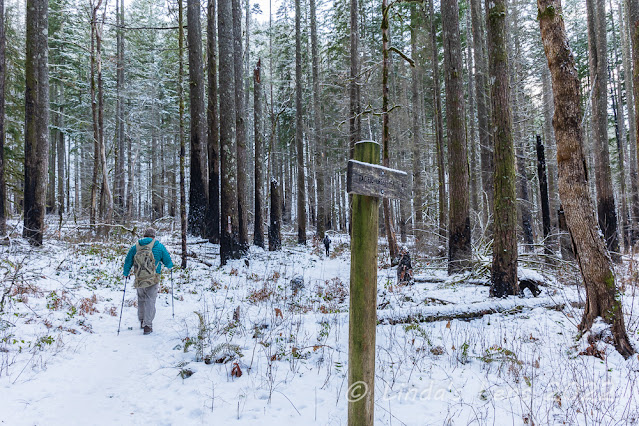
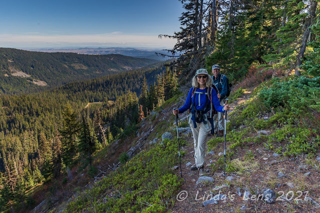
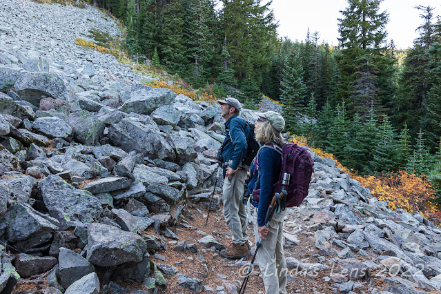
| At the first trail junction |
Many years ago, a friend posted photos from a place called Boulder Lake. The lake was rimmed by tall cliffs, and because it was fall, the cliffs were dotted with beautiful golds, yellows and reds of the trees displaying their best autumn finery. It looked like such a gorgeous spot, I just knew I had to hike there! I've been trying to get to Boulder Lake ever since. Finally, on the one sunny day of an otherwise rainy week, I got my wish.
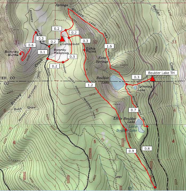 |
| Map of our route |
Even though I'd just returned from a 3-day trip to Central Oregon, and was leaving for the coast the following day, I couldn't pass up the opportunity to finally check this hike off my list. So early that morning found me in my good friends Debbie and Barry's car driving over Mt. Hood on the way to the Boulder Lake Trailhead. It was quite a journey just to reach the trailhead! After passing over Mt. Hood on highway 26, we turned onto highway 35. From White River Snopark, we turned off highway 35 onto the first of many Forest Service roads. I had printed directions from the Oregon Hikers website, and Debbie had slightly different directions from a hiking app (I think it was Alltrails). Encountering a road closure, we realized my directions were probably outdated. Good thing we had Debbie's directions! These led us through a maze of FS roads, each in worse condition than the one before, until we reached the final road that took us right to the trailhead.
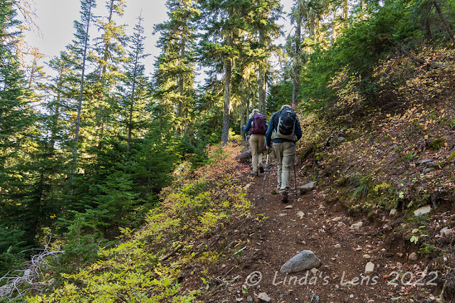 |
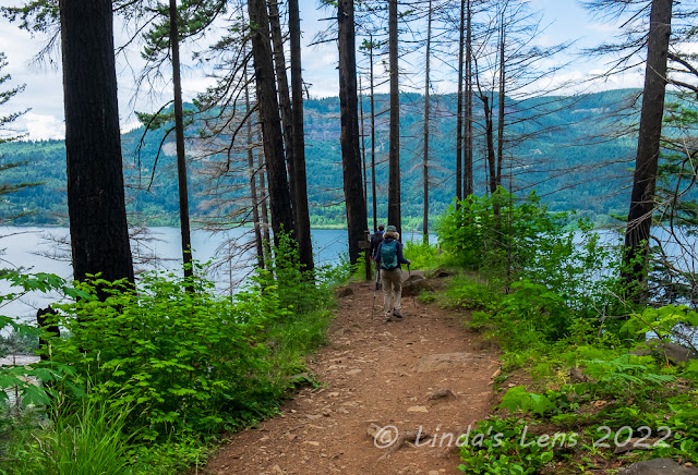
| Climbing uphill to Little Boulder Lake |
Whew! It had taken well over 2 hours to get here. After much-needed potty breaks in the bushes (no facilities at this trailhead) my friends and I shouldered our backpacks and headed up the first of many trails we'd follow today. I included a map of our route (see photo above) to help explain all the twists, turns, and tracks for the day's hike.
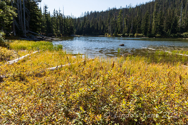 |
| Little Boulder Lake |
Starting at the Boulder Lake Trailhead, we took a short quarter-mile path, past tiny Spinning Lake and reached the junction of the Boulder Lake and Little Boulder Lake Trail. Which way to go first? My friends and I decided to hike the loop clockwise, take the Little Boulder Lake Trail first, and save Boulder Lake for last. (Little did we realize that this junction was merely a stone's throw away from Boulder Lake itself!)
 |
| Lunch break high above the lakes |
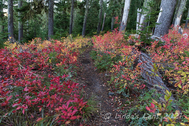
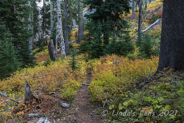
The Little Boulder Lake trail had us climbing up a steep ridge past huckleberry bushes just beginning their autumn color transformation. Then we continued slightly downhill before reaching the shore of Little Boulder Lake, rimmed by beautiful golden grasses. Not far from this lake, my friends and I reached another junction, this with an old logging road.
 |
| Fantastic fall colors |
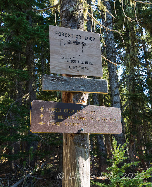
We followed this old logging road for nearly a mile as it twisted and climbed through alternating forests and clearcuts. The open areas had fantastic sweeping views of the valley below. At a tight bend in the road, Barry noticed a trail heading off into the forest. It wasn't signed, but with my gps and Barry's phone app (plus my map) we were able to determine that this was the next trail on the loop.
 |
| Looking down at Little Boulder Lake |
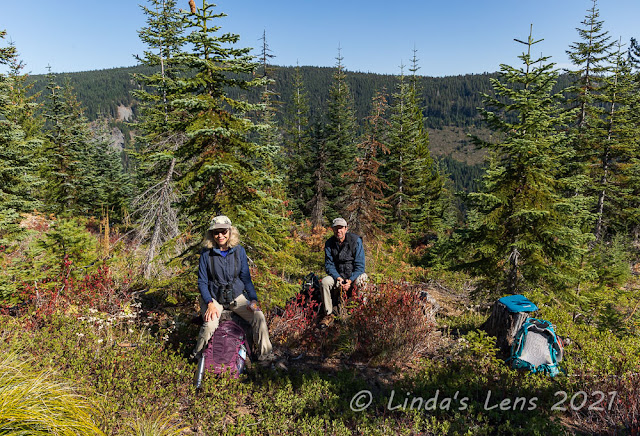
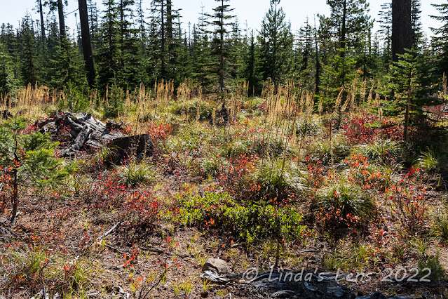
This next trail, the Forest Creek Trail No. 473, took us uphill through a large brushy meadow (which I later learned was a recovering clear cut). Now well past noon, my friends and I had grumbling tummies, so when I noticed a few stumps in a clearing I suggested we take a lunch break.
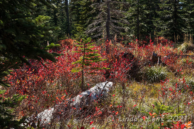 |
| More blazing huckleberry bushes |
It turned out to be a great spot to sit and refuel. Nestled among the huckleberry and manzanita bushes, and some short fir trees, my friends and I enjoyed the forest views.
 |
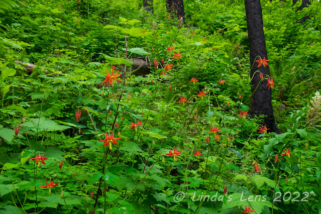
| Must've been a good beargrass year! |
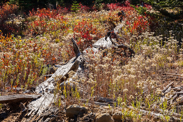
Tummies filled, it was time to get a-movin' once again. We continued climbing through old clearcuts, full of brilliant red huckleberry bushes and beargrass stalks. Judging by the sheer number of spent beargrass I deduced it must've been a banner year for the poofy plants.
 |
| Some yellow and gold huckleberry leaves |
Debbie, Barry, and I passed by one nice viewpoint overlooking Little Boulder Lake, nestled in the valley far below. Then we ducked back into the woods, passing by an area of vibrant yellow and gold huckleberry leaves.
 |
| Sweeping panorama at Echo Point |
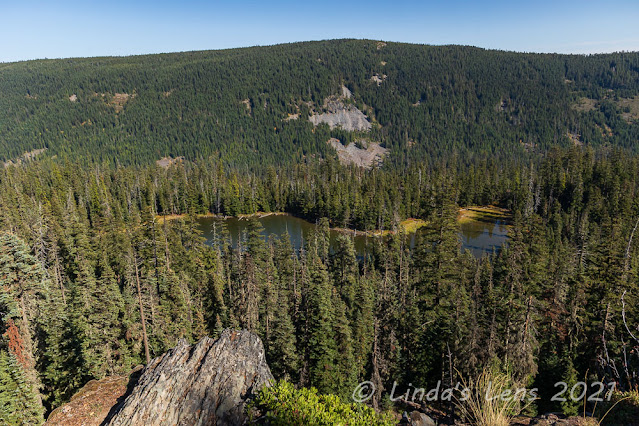
Located at this trail's highest spot was one final viewpoint, named Echo Point. Climbing steadily uphill it seemed to take forever to reach. But once we crested the top, the views from here were definitely worth the slog. We could see beyond the high ridge on the other side of the lakes, all the way to the plains east of Mt. Hood. Outstanding! I was glad we picked a clear-sky day to do this hike.
 |
| Lots of trails at Bonney Meadows |
From Echo Point, our trail dropped steeply downhill until we reached the next trail junction at Bonney Meadows. Lots of trails crisscrossed at the meadows, causing both Barry and I to consult our maps and gps tracks to be sure we were headed in the right direction.
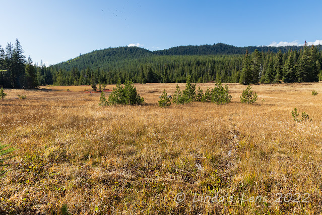 |
| Bonney Meadows |
Although we could've taken the short 0.2 mile trail directly to the Boulder Lake Trail, my friends and I agreed to take the longer loop and explore large, grassy Bonney Meadows. The meadows, golden with autumn colors, were quite lovely. I also noticed the very tip of Mt. Hood poking above the trees on the meadow's far side.
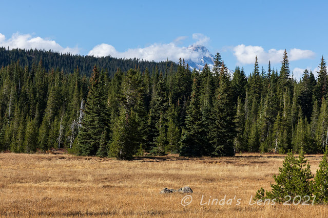 |
| The tip of Mt Hood was visible from the meadows |
We wandered through the meadows for a pleasant half mile until the trail intersected with another road. This miserable, rocky Forest Service road was the access to Bonney Meadows Campground and Bonney Butte. As we climbed up this road, dodging potholes and large rocks, I couldn't believe people actually drove vehicles up here. But as we cut through the campground itself, I noticed a Subaru parked at one of the campsites. A braver (or crazier) person than me!
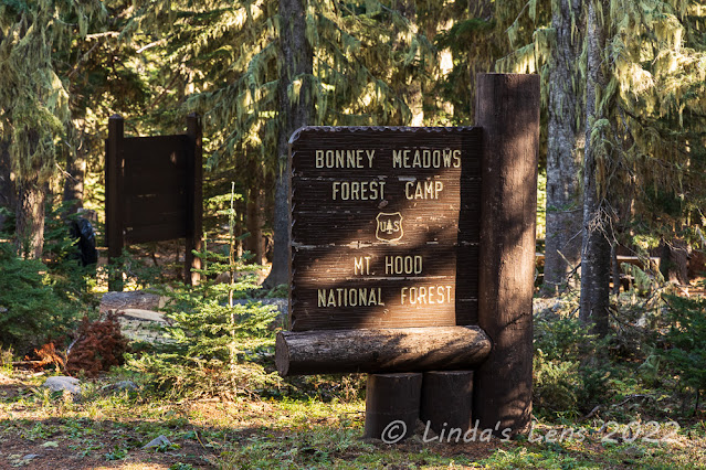 |
| At the end of a terrible road was Bonney Meadows campground |
Bonney Meadows Campground looked like a nice place to pitch a tent. Too bad vehicular access was via such a terrible road. On the campground's far side was our final junction with the Boulder Lake Trail. Only 1.6 miles to Boulder Lake!
 |
| Crossing a huge talus slope |
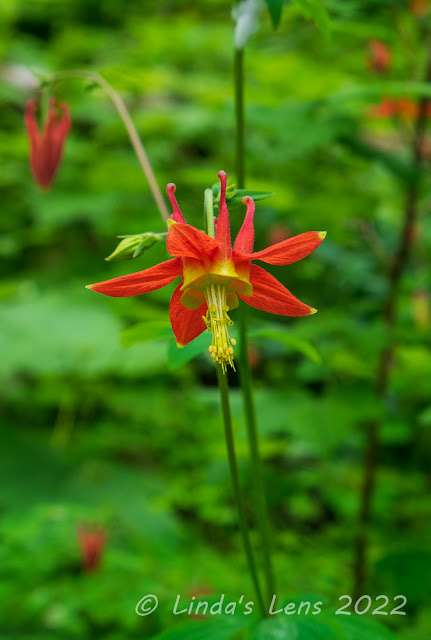
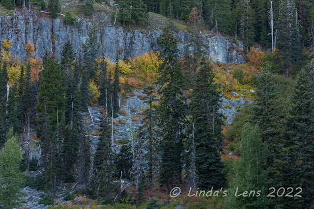
What goes up must come down. After gaining all that elevation climbing up the ridge, the Boulder Lake Trail dived steeply downhill. After a long switchback, my friends and I crossed several huge talus slopes. The slopes were rimmed with more brilliantly-colored huckleberry bushes, their bright colors popping against the gray rocks.
 |
| More huckleberry loveliness |
Traversing one of the talus slopes, my friends and I heard the distinctive "meep-meep" of a pika. These tiny rodent-like creatures live in rocky slopes and are difficult to see. Luckily I spotted a pika sitting on an outcropping rock. Sadly I didn't have a zoom lens, so the little guy looks like a speck in all my photos. But known for being shy animals, it's always a thrill when you can actually see one.
 |
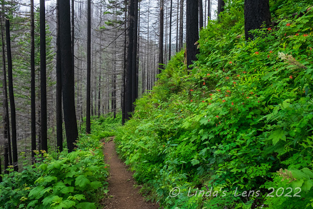
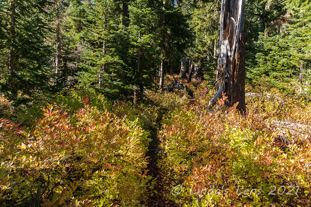
| The underbrush was quite colorful |
Past the talus slopes, our trail dived back into the forest. This forest was the most colorful of all, its floor covered in huckleberry bushes of all hues. I would've lingered longer taking photographs, except for the fact that it was late afternoon, the light was fading, and we still had a lake to reach.
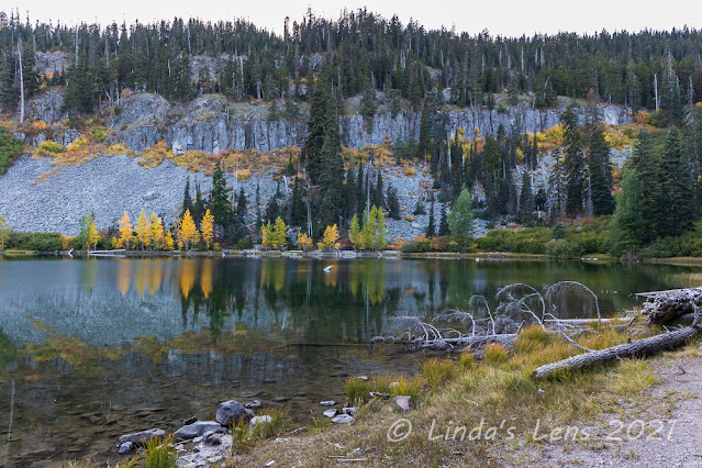 |
| Boulder Lake - finally! |
The final half mile to Boulder Lake seemed to take forever. The forest went on and on. By now we all were feeling tired. Where was this darned lake?
 |
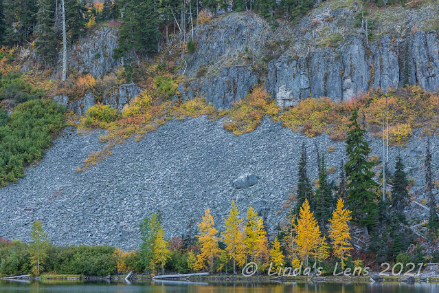
| The cliffs surrounding the lake were lit up in fall colors |
And then through the trees, I spotted water. Our trail was still high above the lake itself, but after following it for a short distance, I decided to trek cross-country down the slope. I was anxious to finally see this lake - someplace that had been on my list for a mighty long time.
 |
| It was quite beautiful, despite the late afternoon light |
I arrived on the shore of Boulder Lake and gasped. The far side of the lake was rimmed by tall cliffs. Colorful bushes spread across the cliffs, displaying lovely shades of yellow and orange. A grove of bright yellow trees lined the opposite lakeshore. The trees reflected in the lake's still waters. Oh my, it was as beautiful as I'd hoped!
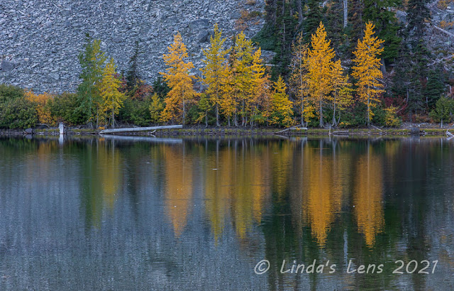 |
| Colorful reflections |
The sun had already slipped behind the tall cliffs, and this fading afternoon light wasn't the best for photographs. But I didn't care. I shot image after image of this wonderful scene anyway. I'd wanted to see this place for so many years, and now finally here I was. It had been totally worth the long drive and hike to reach this special place.
After finally tearing myself away and heading down the last of the trail, we arrived back at the Boulder Lake - Little Boulder Lake trail junction where we'd started our day. And I realized if we had just turned right instead of left, the lake was maybe a dozen steps beyond this junction. We'd hiked the entire loop first and saved the best for last.
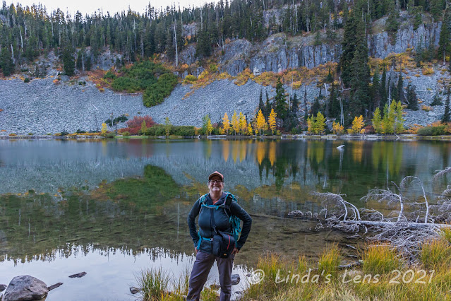 |
| Yours truly, enjoying the beauty |
Returning to the car, it was now time to go home, backtracking through all the crummy Forest Service roads to the highway. However, the day had one final surprise in store for us. Heading over Mt. Hood the sun sank into a spectacular sunset, colors lingering in the sky for well over a half hour. A good way to end what had been a wonderful day exploring a fantastic new trail.