
 |
| Coldwater Lake |
Coldwater Lake is located in SW Washington, under the shadow of nearby Mt St Helens. Formed on that fateful day when the mountain erupted, the shoreline of this long, slender body of water bursts into a kaleidoscope of fall finery during the month of October.
 |
| The lower forest was still green |
I have an autumn tradition of traveling the entire trail circling this lovely lake (See this post from 2014). However, due to last October's SW Utah trip, it had been a couple years since I'd done my annual trek. I wasn't about to miss it again!
 |
| Lots of tiny toads! |
But this year's hike would have a twist. Instead of circumnavigating Coldwater Lake, I decided to follow it's south ridge and then continue on the Coldwater Trail to St Helens Lake. Although I'd reached this stunning mountain lake via the Boundary Trail from Johnston Ridge Observatory, the Coldwater Trail was yet another option. A path I'd never hiked, it was time to check it off my list.
 |
| Bare ridgeline |
So one blustery early October Saturday morning had me pulling into Coldwater Lake's boat ramp parking area. Needing to use the "ladies room" before beginning my hike, I wanted to take advantage of its bathroom facilities. This time of year, I'm normally greeted with an empty parking lot, so you can imagine my surprise when I found several tents, canopies, vehicles, and people milling around the restroom. I discovered an ultrarunning race was taking place that day, with the boast ramp serving as one of the aid stations.
 |
| Coldwater Lake from on high |
For those of you unfamiliar with the term, ultrarunning refers to any running race longer than marathon length (26.2 miles). Ultras, as they are called, range in distance from 50 kilometers to 100 miles and beyond, and are usually run on trails. A nearby sign proclaimed today's event as the "Bigfoot 120 Endurance Run."
 |
| Festive fall tree |
The Coldwater Trailhead was a mere mile down the road, so leaving the race crowd behind, I made the short dash to its parking area. Glancing at the ominously cloudy sky, I made sure my rain jacket and pack cover were stashed inside my backpack. Wet weather was forecast, and I crossed my fingers in hopes of a dry hike.
 |
| Old, weathered stumps |
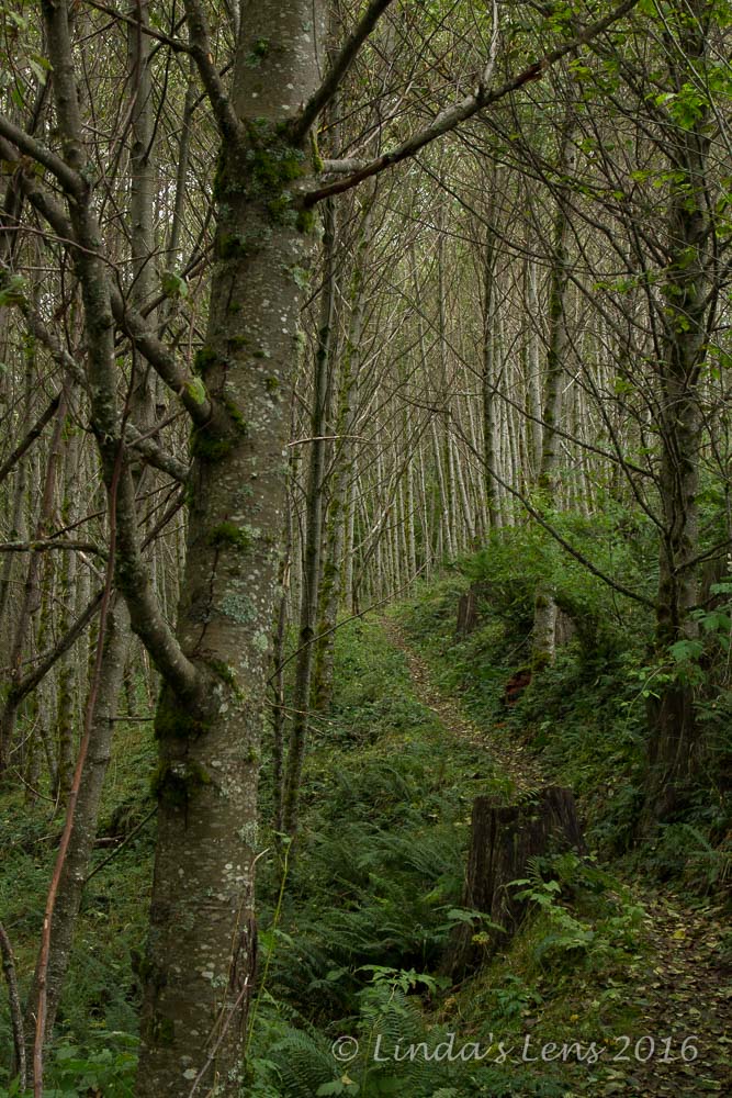
My trail climbed almost immediately through thick second-growth woods, their leaves still green. The forest floor was alive with dozens of tiny toads, hopping madly to avoid my footsteps. A sign at the trailhead had ominously warned of bear and cougar sightings, so I made it a habit to whistle, call out, and clack my trekking poles when passing through areas of thick vegetation.
 |
| Bulldozer upended from the eruption |
Climbing to the top of the first ridge, I passed by some old logging machinery, partially buried by the 1980 eruption. Traversing across this barren spine, I was treated to spectacular panoramic views of Coldwater Lake, far below.
 |
| Technicolor hillside |
But, aside from a few trees displaying yellow leaves, the fabulous fall colors of the huckleberry bushes were absent. I wasn't sure if my timing was early or late but the three-mile trudge across that high ridge wasn't as scenic compared to prior years.
 |
| Spellbinding views |
Although my path across the ridge traced the same route I'd taken on past round-the-lake ventures, things were about to change. Reaching the first trail intersection, nicknamed "Tractor Junction" after a nearby upended bulldozer, I diverged from my usual path and continued to follow the Coldwater Trail.
 |
| Amazing fall colors |
Thus far, autumn colors had been kind of ho-hum. And, although I'd hoped to see some of the ultra race participants, none had yet passed by. But things were about to change in a big way.
 |
| Patchwork quilt of color |
From Tractor Junction I climbed steeply through a narrow, brushy path. A lone runner approached from the opposite direction and I politely stepped aside, allowing him to pass.
 |
| A runner admires the view |
The clouds thickened, and fog began ghosting over adjacent hilltops. And just as I was beginning to think my long trek would be for naught, I topped out on a ridge. And, oh what a glorious view awaited on the other side!
 |
| Bright vine maple leaves |
The adjacent mountain slopes were colored in a patchwork of brilliant oranges, reds, and golds. Low-lying clouds draped the very ridgetops and lazily drifted into crevices. These mountains sloped down into a deep valley, with a creek running along its very bottom. The opposite ridge was littered with downed trees, a casualty of the 1980 eruption.
 |
| Downed trees from the eruption |
I just stood there open-mouthed. Then my camera came out and a long photo session began! As I was firing away, a couple more runners passed by, all of them stopping in mid-stride at this amazing sight.
 |
| Golden ridge |
Continuing my climb towards Coldwater Peak and St Helens Lake, the scenery just kept getting better. Crimson huckleberry bushes accented the golden grassy hillsides. And the higher I traveled, the more runners I saw.
 |
| Good views, despite the fog |
The first few racers encountered were your stereotypical young and lean runner. But soon the main pack began passing by and I noticed that these participants were all ages, shapes and sizes. These people were so inspiring! I was particularly impressed by an older, amazingly fit looking couple, probably well into their 60s. The man and woman came traipsing by, smiling broadly, looking like they were having the time of their life.
 |
| Can you spot the runner? |
I asked a few of the runners how far they had to go. I learned the race offered two distances - a roughly 100 kilometer course (about 68 miles I was told) and a 120 mile option. The 120-mile racers had started the previous night near Mt Adams, and the 100k racers had started that morning near Elk Pass, about 26 miles away. Participants would be on the move all this day and night, following the hiking trails around Mt St Helens, finishing the following afternoon at the Marble Mountain Sno-Park on the mountain's south side.
 |
| Fog closed in the higher I climbed |
Although the trek to St Helens Lake seemed to take forever, and the fog and cold began creeping in, the fabulous scenery and company of these amazing runners kept my spirits high. Climbing the final pitch to St Helens Lake, I was disappointed to find it cloaked in a thick fog. No grand photos today! I could barely make out the lake through all this gloom.
 |
| I could barely see St Helens Lake |
After a quick snack and even quicker potty break (I lucked out with just enough time between runners to discreetly "take care of business") it was time to retrace my steps back to the trailhead.
 |
| Exquisite red huckleberry leaves |
Although the wind came up and the sky threatened rain, my trip back through this stark scenic plain was just as enjoyable as the climb. Overcast skies made brilliant fall colors pop, and a steady stream of runners kept me company.
 |
| More runners passing me by |
Although I didn't take many photos of the runners themselves, one woman, seeing my big camera, asked if I was the race photographer. (Hmmmm....a new career?)
 |
| Back past the amazing ridgeline |
As I approached Tractor Junction, the number of runners slowly petered out, until only a few stragglers remained. At the junction, the race course and I parted ways, with the runners continuing around the lake, and me heading back along the south ridge. Alone again, I climbed back up the colorless, bleak ridge with three tough, lonely miles yet to go.
 |
| Fog obscuring the scenery |
Boy did I miss the company of those runners! Trudging through the endless trail, feet now hurting, the last three miles were brutal. Remembering the trailhead wildlife warnings, I belted out "YMCA" (the only song I could remember at the time) to ward off imagined bears and mountain lions. With about a mile to go, the skies opened up, necessitating a quick break to don raingear and cover my pack.
 |
| Vine maple close-up |
But thankfully the parking lot, and my car finally came into view. After swapping dry shoes and clothes, I headed back to the boat launch for one final potty break before the long ride home. Arriving to a nearly full parking area, the race's aid station was in full swing. I even recognized some of the same runners I'd seen earlier on the trail. They were fueling up and heading back out on the trail for a very long night. As the rain began to fall in earnest, I was glad it was them and not me!
 |
| Coldwater Lake's glorious panorama |
New trail explored. Amazing scenery captured. Inspiration provided by incredible ultramarathon runners. Attitude adjusted for the week ahead. Another wildly successful hike!
Stats: 12.5 miles round-trip, 2500 feet elevation gain


